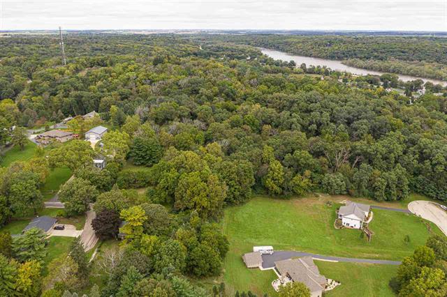
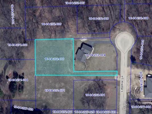
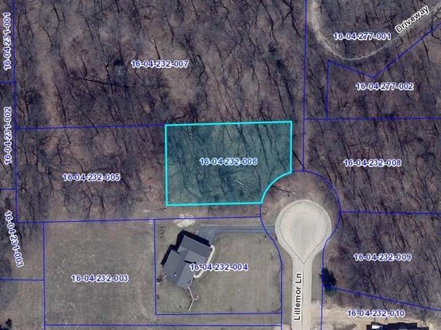
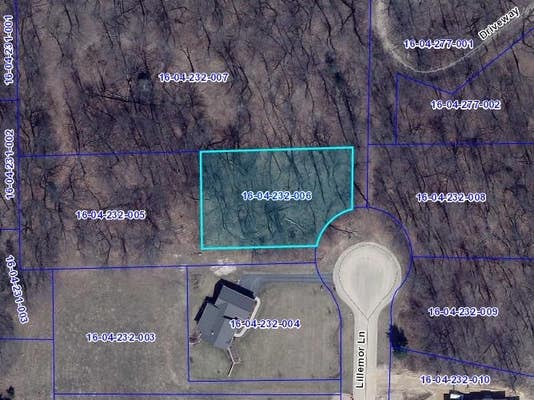
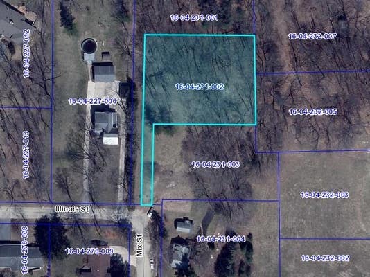
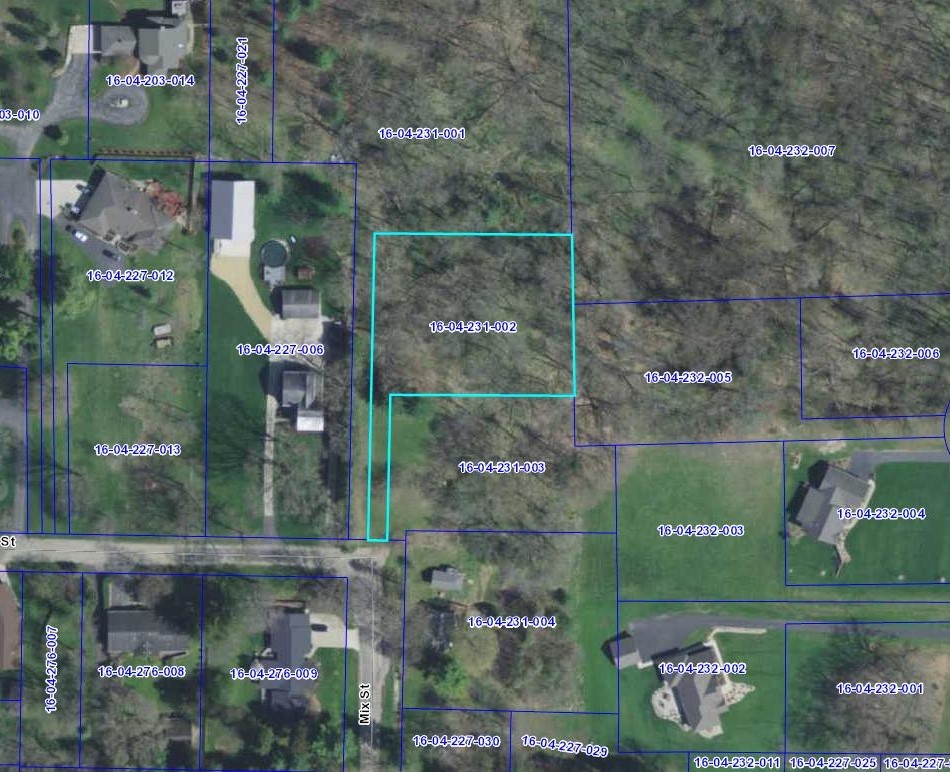
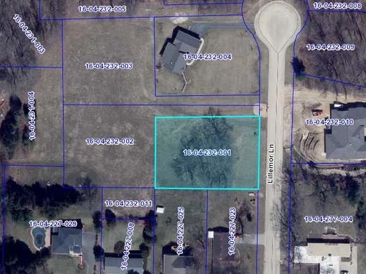
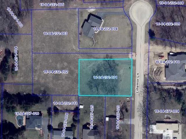
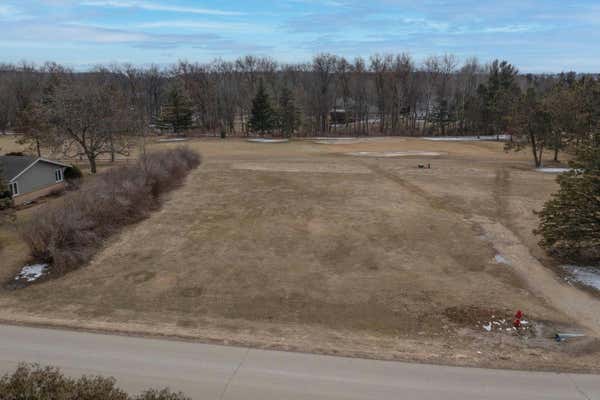
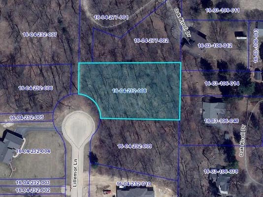
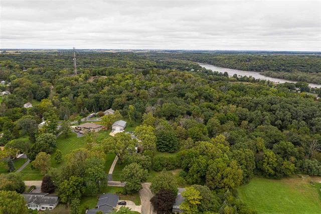
Property description for 000 Austin Court, Oregon, IL 61061
QUICK OVERVIEW
737 Days on website
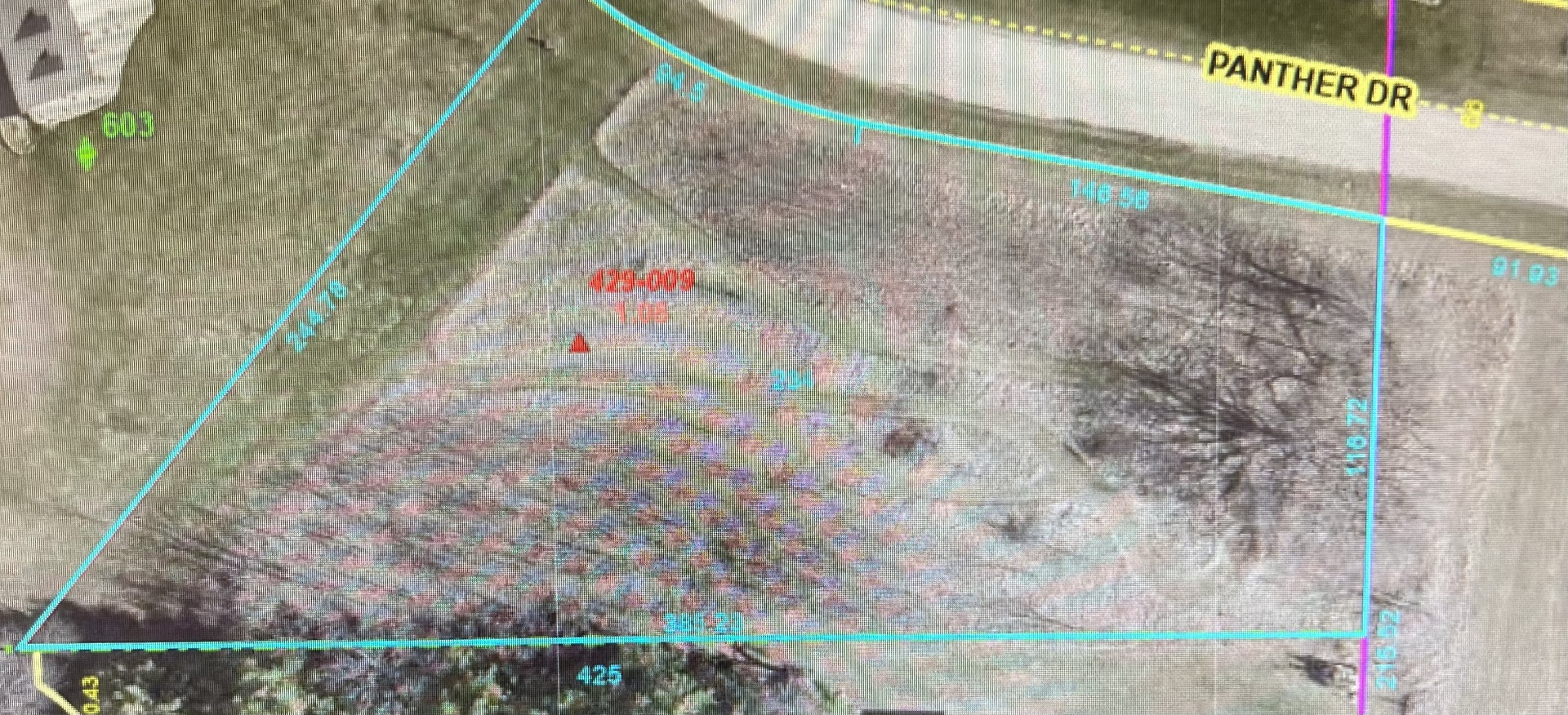
1.28 acres lot
HOA FEATURES
BUILDING AND CONSTRUCTION
EXTERIOR AND LOT
AREA AND SCHOOLS
FINANCIAL INFO
ADDITIONAL INFO
Price per square foot and days on website are not provided values and are calculated by REMAX.
Listing Agent Jenny Kirchner
Listing Office Re/max of Rock Valley, 815-732-9100
Updated Sunday, April 26, 2026 at 4:00:10 AM

The data relating to real estate for sale on this website comes in part from the Internet Data exchange (IDX) program of the NorthWest Illinois Alliance of REALTORS®. IDX information is provided exclusively for consumers' personal, non-commercial use and may not be used for any purpose other than to identify prospective properties consumers may be interested in purchasing. Real estate listings held by brokerage firms other than Re/max of Rock Valley, are indicated by detailed information about them such as the name of the listing firms. Information deemed reliable but not guaranteed. Copyright © 2026 NorthWest Illinois Alliance of REALTORS®. All Rights Reserved.
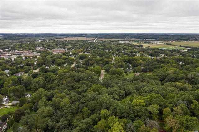
NEIGHBORHOOD
CLIMATE RISK FOR 61061
Comparable listings to
000 Austin Court, Oregon, IL 61061


N SILVER RIDGE DROREGON, IL 61061
—
—
0.51 SQ FT
Listing by Re/max of Rock Valley
MLS® #: 11417736

000 SILVER RIDGE DRIVEOREGON, IL 61061
—
—
0.51 SQ FT
Listing by Re/max of Rock Valley
MLS® #: 202201358

711,713,715 MISSISSIPPI DRIVEDIXON, IL 61021
—
—
0.77 SQ FT
Listing by Crawford Realty, Llc
MLS® #: 12067571
599 PANTHER DRDIXON, IL 61021
—
—
1.00 SQ FT
Listing by Sauk Valley Properties Llc
MLS® #: 12063440
597 PANTHER DRDIXON, IL 61021
—
—
1.01 SQ FT
Listing by Sauk Valley Properties Llc
MLS® #: 12063552

Get Real Estate Advice
Enter your email for REMAX's HomeHQ newsletter. Grab market updates, expert selling tips, and real estate advice.
By clicking "Sign Up" below, you agree to receive marketing calls, texts, or emails placed by or on behalf of RE/MAX, LLC and/or your local REMAX franchised office, even if your phone number is on a Do Not Call List. You agree that calls or texts may be automated and/or sent with an artificial or prerecorded voice. Consent is not a condition of purchase. Message/data rates may apply. You also agree to the Terms of Use and Privacy Policy. You may unsubscribe at any time.
Voted the Most Trusted Agents in Real Estate*
FIND A REMAX AGENT