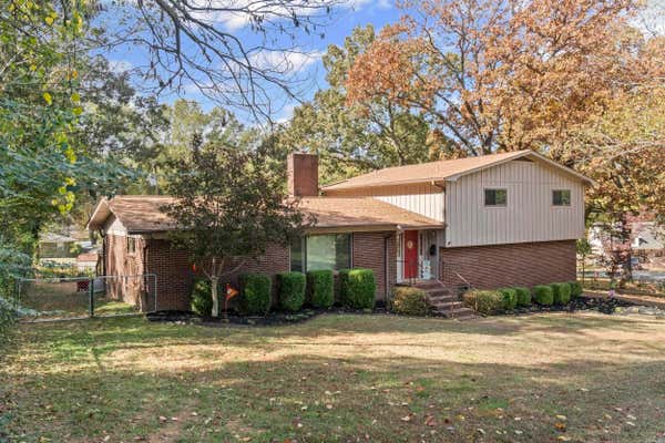
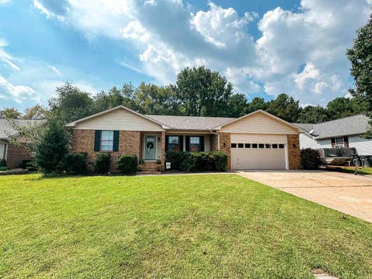
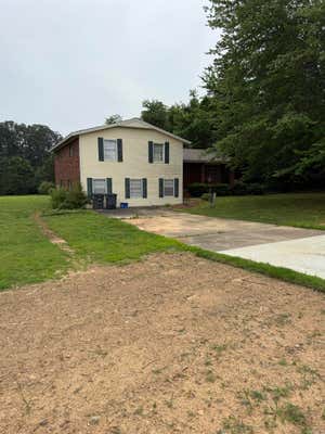
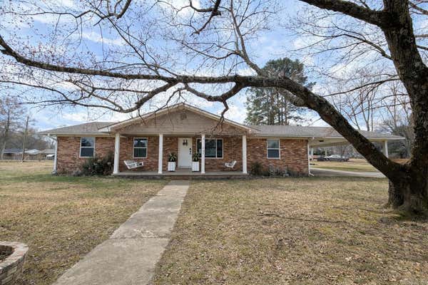
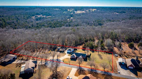
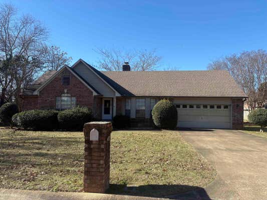
Property description for 9 Peppertree Pl, Searcy, AR 72143
QUICK OVERVIEW
Built in 1982
$138 / Sq Ft
Central Cool-Electric, Central Heat-Gas
7 Days on website
0.41 acres lot
INTERIOR
HOA FEATURES
BUILDING AND CONSTRUCTION
EXTERIOR AND LOT
UTILITIES
AREA AND SCHOOLS
FINANCIAL INFO
Price per square foot and days on website are not provided values and are calculated by REMAX.
Listing Agent Kelly Tedder
Listing Office PorchLight Realty, 501-286-6025
Updated Friday, March 6, 2026 at 3:58:58 PM

The data relating to real estate for sale on this website comes in part from the Internet Data exchange (IDX) program of Cooperative Arkansas REALTORS® MLS. IDX information is provided exclusively for consumers' personal, non-commercial use and may not be used for any purpose other than to identify prospective properties consumers may be interested in purchasing. Information deemed reliable but not guaranteed. Copyright © 2026 Cooperative Arkansas REALTORS® MLS. All Rights Reserved.
NEIGHBORHOOD
CLIMATE RISK FOR 72143
PROPERTY HISTORY FOR 9 Peppertree PL
Comparable listings to
9 Peppertree PL, Searcy, AR 72143
Under Contract
Under Contract
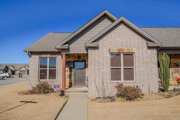
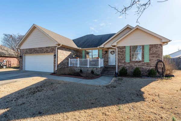
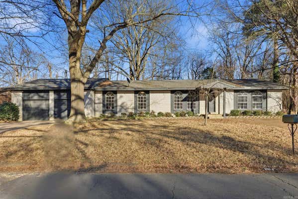
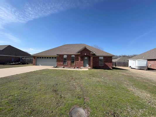
600 GREENWOOD DRSEARCY, AR 72143
2
2
1,330 SQ FT
Listing by IRealty Arkansas - LR
MLS® #: 26000299
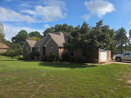
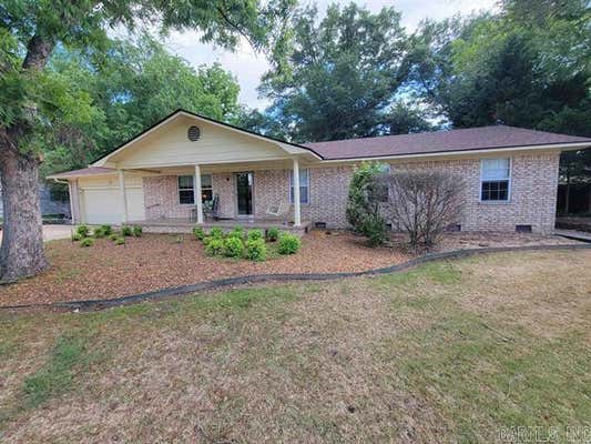
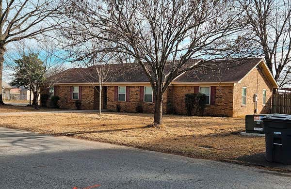
3001 W COUNTRY CLUB RDSEARCY, AR 72143
3
2
1,815 SQ FT
Listing by Searcy Hometown Realty
MLS® #: 26006142
Virtual Tour
Under Contract
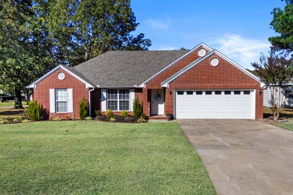
2944 W COUNTRY CLUB RDSEARCY, AR 72143
4
3
2,001 SQ FT
Listing by RE/MAX Advantage
MLS® #: 26000072
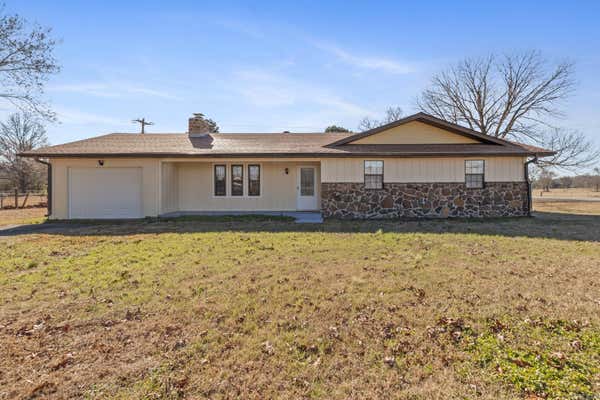
296 WALKER RDHIGGINSON, AR 72068
4
2
1,690 SQ FT
Listing by Michele Phillips & Company, Realtors-Cabot Branch
MLS® #: 26007223
Under Contract
102 S SMYRNA RDSEARCY, AR 72143
3
2
2,261 SQ FT
Listing by Realty Professionals, Inc.
MLS® #: 26005314

Get Real Estate Advice
Enter your email for REMAX's HomeHQ newsletter. Grab market updates, expert selling tips, and real estate advice.
By clicking “Sign Up” below, you are agreeing to the Terms of Use and
Privacy Policy and are agreeing to receive marketing email messages from
RE/MAX, LLC and/or marketing emails, calls or texts placed by or on
behalf of your local REMAX franchised office, to any phone number and/or
email address that you provided, even if your number is on a federal,
state, or our internal Do Not Call List. You further agree that
call/texts may be sent with an automated system for selection or dialing
of numbers and/or with an artificial or prerecorded voice. Please note:
Consent is not a condition of purchase. Standard data and messaging rate
may apply. You may unsubscribe at any time.
Voted the Most Trusted Agents in Real Estate*
FIND A REMAX AGENT