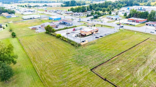
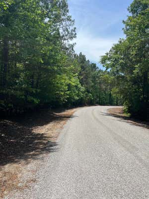
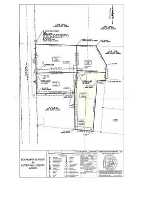
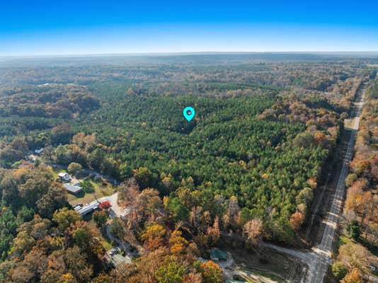
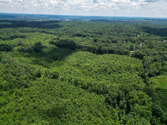
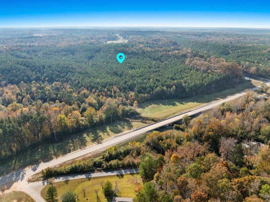
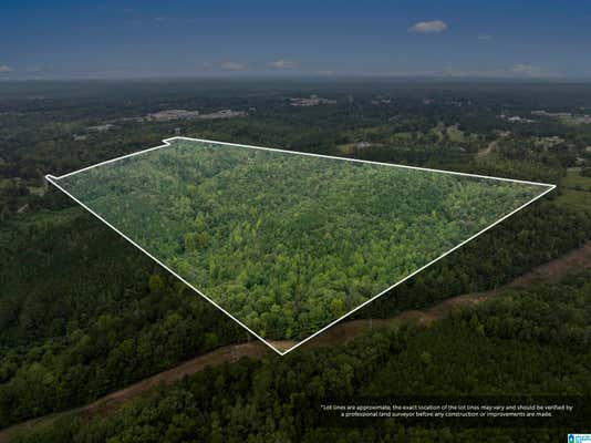
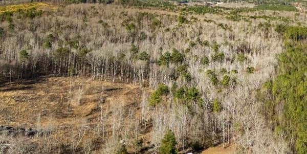
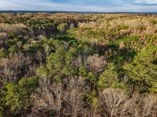
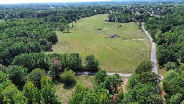
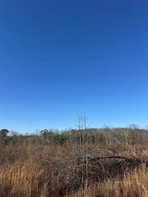
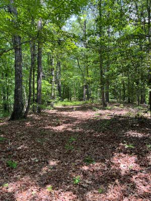
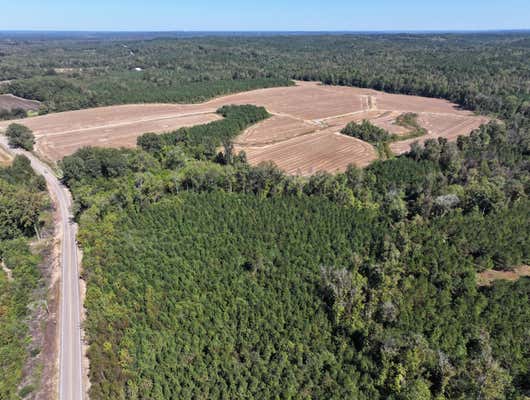
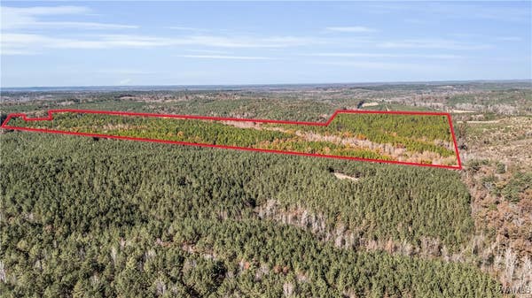
Property description for Tbd Liberty Trl, Hamilton, AL 35570
QUICK OVERVIEW
119 Days on website
72 acres lot
BUILDING AND CONSTRUCTION
EXTERIOR AND LOT
AREA AND SCHOOLS
Price per square foot and days on website are not provided values and are calculated by REMAX.
Listing Agent Trenton Wilson
Listing Office Midwest Land Group, LLC, (205) 421-3715
Updated Monday, March 9, 2026 at 7:52:36 PM

The data relating to real estate for sale on this website comes in part from the Internet Data exchange (IDX) program of West Alabama MLS. IDX information is provided exclusively for consumers' personal, non-commercial use and may not be used for any purpose other than to identify prospective properties consumers may be interested in purchasing. Information deemed reliable but not guaranteed. Copyright © 2026 West Alabama MLS. All Rights Reserved.
NEIGHBORHOOD
CLIMATE RISK FOR 35570
PROPERTY HISTORY FOR Tbd Liberty Trl
Comparable listings to
Tbd Liberty Trl, Hamilton, AL 35570


0 PIKEVILLE ROADFULTON, MS 38843
—
—
67.54 SQ FT
Listing by CENTURY 21 KNOWLES REALTY
MLS® #: 25-1881
Virtual Tour
00 REGENCY PLACEHAMILTON, AL 35570
—
—
66.00 SQ FT
Listing by EXIT River City Realty
MLS® #: 523417

COUNTY RD 5131BOONEVILLE, MS 38829
—
—
701.16 SQ FT
Listing by WHITETAIL PROPERTIES REAL ESTATE LLC
MLS® #: 25-2001

Virtual Tour
0 BEECH GROVE ROAD # 1HALEYVILLE, AL 35565
—
—
76.00 SQ FT
Listing by Keller Williams Metro South
MLS® #: 21433783

60276 STATE LINE RDSMITHVILLE, MS 38870
—
—
58.00 SQ FT
Listing by WHITETAIL PROPERTIES REAL ESTATE LLC
MLS® #: 26-439
0 COUNTY HIGHWAY 32HACKLEBURG, AL 35564
—
—
40.00 SQ FT
Listing by Brickdriven Realty
MLS® #: 526915
SIPSEY TRLGREENWOOD SPRINGS, MS 38848
—
—
30.00 SQ FT
Listing by BURKES LAND BROKERS
MLS® #: 25-1589

Virtual Tour
0 WOLFE RDCALEDONIA, MS 39740
—
—
450.00 SQ FT
Listing by SMALLTOWN HUNTING PROPERTIES & REAL ESTATE
MLS® #: 25-2153
0000 CO RD 30SULLIGENT, AL 35586
—
—
155.00 SQ FT
Listing by Midwest Land Group, LLC
MLS® #: 172346
0 SCOTT SENTER ROAD (170 AC)FULTON, MS 38843
—
—
170.00 SQ FT
Listing by Mossy Oak Prop Bottomland, Real Estate, Black Prairie Real Estate
MLS® #: 25-2972
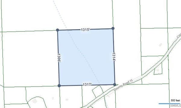
0 COUNTY ROAD 15 ROADBERRY, AL 35546
—
—
41.00 SQ FT
Listing by RE/MAX Premiere Group
MLS® #: 168456

Get Real Estate Advice
Enter your email for REMAX's HomeHQ newsletter. Grab market updates, expert selling tips, and real estate advice.
By clicking “Sign Up” below, you are agreeing to the Terms of Use and
Privacy Policy and are agreeing to receive marketing email messages from
RE/MAX, LLC and/or marketing emails, calls or texts placed by or on
behalf of your local REMAX franchised office, to any phone number and/or
email address that you provided, even if your number is on a federal,
state, or our internal Do Not Call List. You further agree that
call/texts may be sent with an automated system for selection or dialing
of numbers and/or with an artificial or prerecorded voice. Please note:
Consent is not a condition of purchase. Standard data and messaging rate
may apply. You may unsubscribe at any time.
Voted the Most Trusted Agents in Real Estate*
FIND A REMAX AGENT